Geologists and geographers divide the Commonwealth into five regions of Virginia, known as physiographic provinces. Each province has its own rocks, landforms and history, and they follow one another from the Atlantic coast to the western mountains.
Quick answer: The five regions of Virginia, from east to west, are the Coastal Plain, the Piedmont, the Blue Ridge, the Valley and Ridge, and the Appalachian Plateau. Virginia Energy, the state geology agency, lists these five physiographic provinces. A sixth geologic province, the Mesozoic basins, lies scattered within the Piedmont.
Contents
- Five Physiographic Provinces
- The Provinces From East to West
- The Mesozoic Basins
- Frequently asked questions
Five Physiographic Provinces
A physiographic province is an area with a similar landscape and similar underlying rocks. Virginia Energy states that Virginia has five distinct physiographic provinces: the Appalachian Plateau, the Valley and Ridge, the Blue Ridge, the Piedmont and the Coastal Plain.[1] Counting the Mesozoic basins, the state has six geologic provinces.[1]
The Provinces From East to West
| Province | Location | Rocks and landforms |
|---|---|---|
| Coastal Plain | From the Fall Zone east to the Atlantic | Layers of clay, sand and gravel; tidal rivers flow to the Chesapeake Bay[2] |
| Piedmont | Between the Fall Zone and the Blue Ridge | Largest province; gently rolling land on old igneous and metamorphic rock[3] |
| Blue Ridge | Narrow highland west of the Piedmont | Virginia’s oldest rocks; Mount Rogers, 5,729 feet, the highest point[4] |
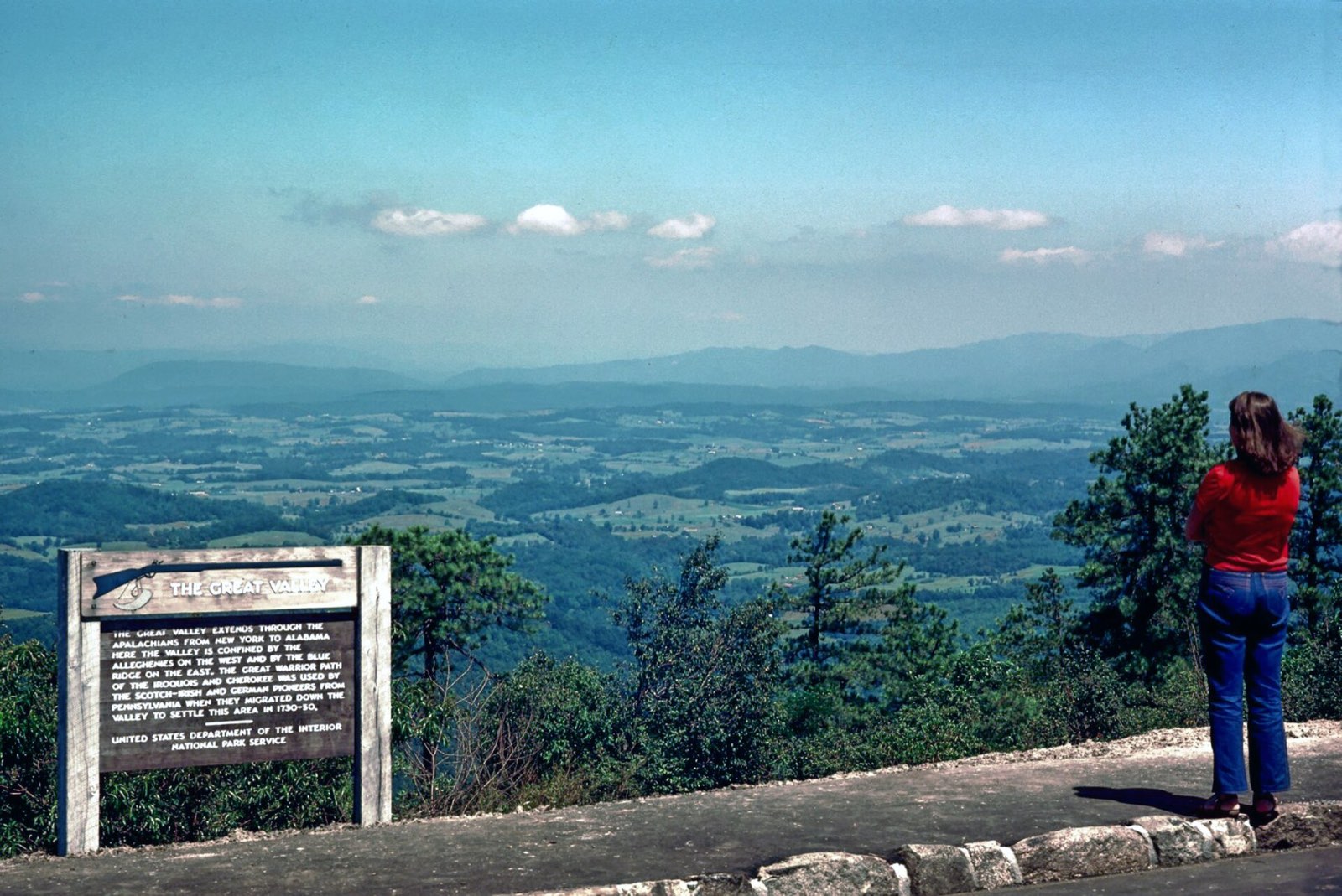
| Valley and Ridge | West of the Blue Ridge | Long parallel ridges and valleys of folded sedimentary rock; caves in the Great Valley[5] |
| Appalachian Plateau | Far southwest | Mostly flat-lying sedimentary rock with coal; cut by steep stream valleys[6] |
The boundary between the Coastal Plain and the Piedmont is the Fall Zone, a narrow belt where streams drop from the hard rock of the Piedmont onto the younger layers of the Coastal Plain.[2]
The Mesozoic Basins
The Mesozoic basins are small areas of younger sedimentary rock, diabase and basalt inside the Piedmont. They formed when the crust began to pull apart in the early Mesozoic era. Some basins preserve dinosaur, fish and insect fossils, and coal formed in swampy lowlands in a few of them.[3]
Frequently asked questions
What are the 5 regions of Virginia? The Coastal Plain, the Piedmont, the Blue Ridge, the Valley and Ridge, and the Appalachian Plateau.
Which region of Virginia is the largest? The Piedmont is the largest geologic province in Virginia.
Which region has the highest point in Virginia? The Blue Ridge, where Mount Rogers rises to about 5,729 feet.
Where is coal found in Virginia? Mainly in the Appalachian Plateau of southwest Virginia, in rocks about 300 million years old.
References
- [1] Virginia Energy, Geology and Mineral Resources: Virginia Provinces and Fossils – last checked 11/08/2026
- [2] The Geology of Virginia (William and Mary), Coastal Plain – last checked 11/08/2026
- [3] The Geology of Virginia (William and Mary), Piedmont – last checked 11/08/2026
- [4] The Geology of Virginia (William and Mary), Blue Ridge – last checked 11/08/2026
- [5] The Geology of Virginia (William and Mary), Valley and Ridge – last checked 11/08/2026
- [6] The Geology of Virginia (William and Mary), Appalachian Plateau – last checked 11/08/2026
Each region has its own page: Tidewater (Coastal Plain), Piedmont, Blue Ridge, Valley and Ridge and Appalachian Plateau.