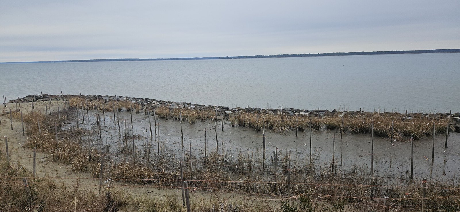
Tidewater is another name for the Coastal Plain of Virginia, the easternmost of the five physiographic provinces. The U.S. Geological Survey defines the Virginia Coastal Plain as the region between the fall line and the Chesapeake Bay, also known as the Virginia Tidewater region.[3]
Quick answer: Tidewater is Virginia’s Coastal Plain. It stretches from the Fall Zone east to the Atlantic Ocean and rests on a wedge of clay, sand and gravel. The Potomac, Rappahannock, York and James rivers flow across it to the Chesapeake Bay.
Contents
- Boundaries of the Coastal Plain
- Layers Beneath the Surface
- Tidal Rivers and the Bay
- The Chesapeake Bay Impact Structure
- Frequently asked questions
Boundaries of the Coastal Plain
The Coastal Plain runs from the Fall Zone east to the Atlantic Ocean.[1] The Fall Zone is a narrow belt where streams drop off the harder igneous and metamorphic rocks of the Piedmont onto the younger Coastal Plain layers. On the Atlantic side, low barrier islands line the edge of Virginia’s Eastern Shore.[1]
Layers Beneath the Surface
The Coastal Plain sits on a wedge of sediment. The wedge thins to a featheredge near the Fall Zone and grows to more than 4,000 meters (about 13,000 feet) thick beneath the continental shelf.[1]
| Layer | Age | Material |
|---|---|---|
| Lower two-thirds of the wedge | Late Jurassic and Cretaceous | Clay, sand and gravel |
| Middle layers | Tertiary | Marine sands with fossils |
| Surface cover | Late Tertiary and Quaternary | Sand, silt and clay |
The landscape is terraced, stepping down toward the coast and the major rivers.[1] Common fossils include corals, Turritella snails, shark teeth and bivalves such as Chesapecten jeffersonius, the state fossil.[2]
Tidal Rivers and the Bay
Large tidal rivers, the Potomac, Rappahannock, York and James, flow southeast across the Coastal Plain to the Chesapeake Bay. The bay itself is young in geologic terms: it formed about 5,000 to 6,000 years ago.[1]
The Chesapeake Bay Impact Structure
About 35 million years ago a meteorite struck a shallow Atlantic Ocean in what is now southeastern Virginia. It left a crater more than 90 kilometers (about 56 miles) across, later buried under more than 1,000 meters of younger sediment. Scientists discovered the structure in the early 1990s.[1]
Frequently asked questions
What is the Tidewater region of Virginia? It is the Coastal Plain, the region between the Fall Zone and the Atlantic Ocean.
What rivers flow through Tidewater? The Potomac, Rappahannock, York and James, all tidal rivers flowing to the Chesapeake Bay.
How old is the Chesapeake Bay? The bay formed about 5,000 to 6,000 years ago.
What is the state fossil of Virginia? Chesapecten jeffersonius, a fossil scallop found in the Coastal Plain.
References
- [1] The Geology of Virginia (William and Mary), Coastal Plain – last checked 11/08/2026
- [2] Virginia Energy, Geology and Mineral Resources: Virginia Provinces and Fossils – last checked 11/08/2026
- [3] U.S. Geological Survey, Virginia/West Virginia Water Science Center Glossary – last checked 11/08/2026
The other provinces are described in The Regions of Virginia.