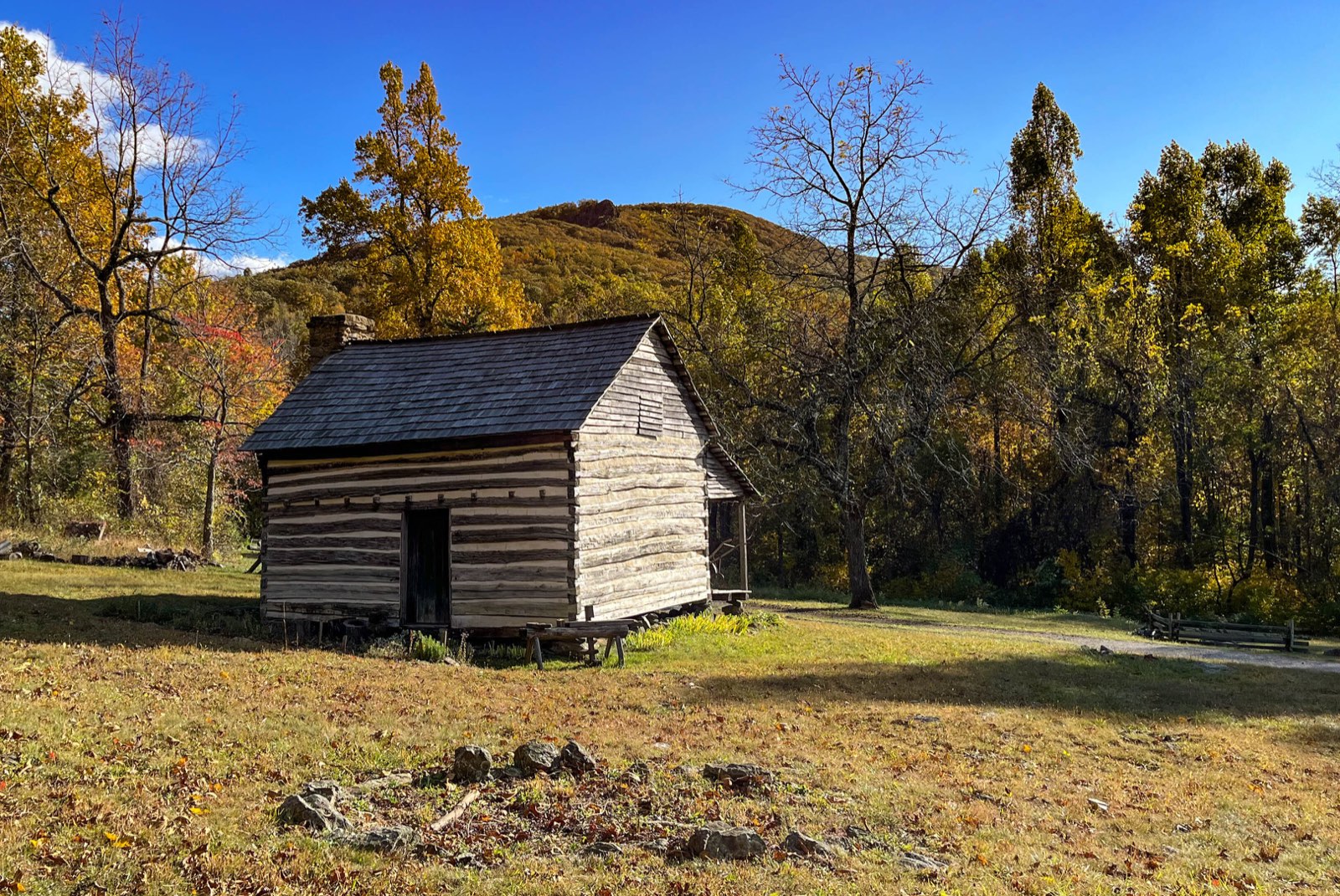
Places of Virginia explores the geography and history of the Commonwealth: why its rivers, mountains and coastline shaped where people settled, how the Virginia Colony grew, and how 95 counties and 38 independent cities came to divide the state today.
Start with a quick fact – the Virginia time zone or the map of Virginia counties – or choose a topic below.
- Virginia Counties and Independent Cities (map)
- Virginia Time Zone
- Agriculture in Virginia
- Appalachian Plateau
- Blue Ridge
- Climate of Virginia
- Cumberland Gap: Where Virginia, Kentucky and Tennessee Meet
- Daily Life in the Virginia Colony
- Energy in Virginia
- Geology of Virginia
- Glossary of Virginia Geography
- Government of Virginia: Counties, Cities and Towns
- Hampton Roads Bridge-Tunnel (HRBT): History and Facts
- How Many Counties Are in Virginia?
- Jamestown: Why There?
- Native Peoples of Virginia
- Parks and Forests of Virginia
- Piedmont
- Population of Virginia: Growth and Change
- Quantico, Prince William County
- Railroads of Virginia
- Regions of Virginia: Study Guide
- Rivers and Watersheds of Virginia
- The Chesapeake Bay in Virginia
- The Delmarva Peninsula and the Eastern Shore
- The Middle Peninsula and the Northern Neck
- The Regions of Virginia
- The Virginia Colony: Overview
- Tidewater (Coastal Plain)
- Transportation in Virginia
- Valley and Ridge
- Virginia Colony Economy
- Virginia Colony Government
- Virginia Colony Religion
- Virginia Colony Timeline
- Virginia Fall Line
- Virginia Place Names: Where They Come From
- Virginia's 38 Independent Cities Explained
- Virginia's Boundaries: How the State Got Its Shape
- Who Could Vote in Colonial Virginia
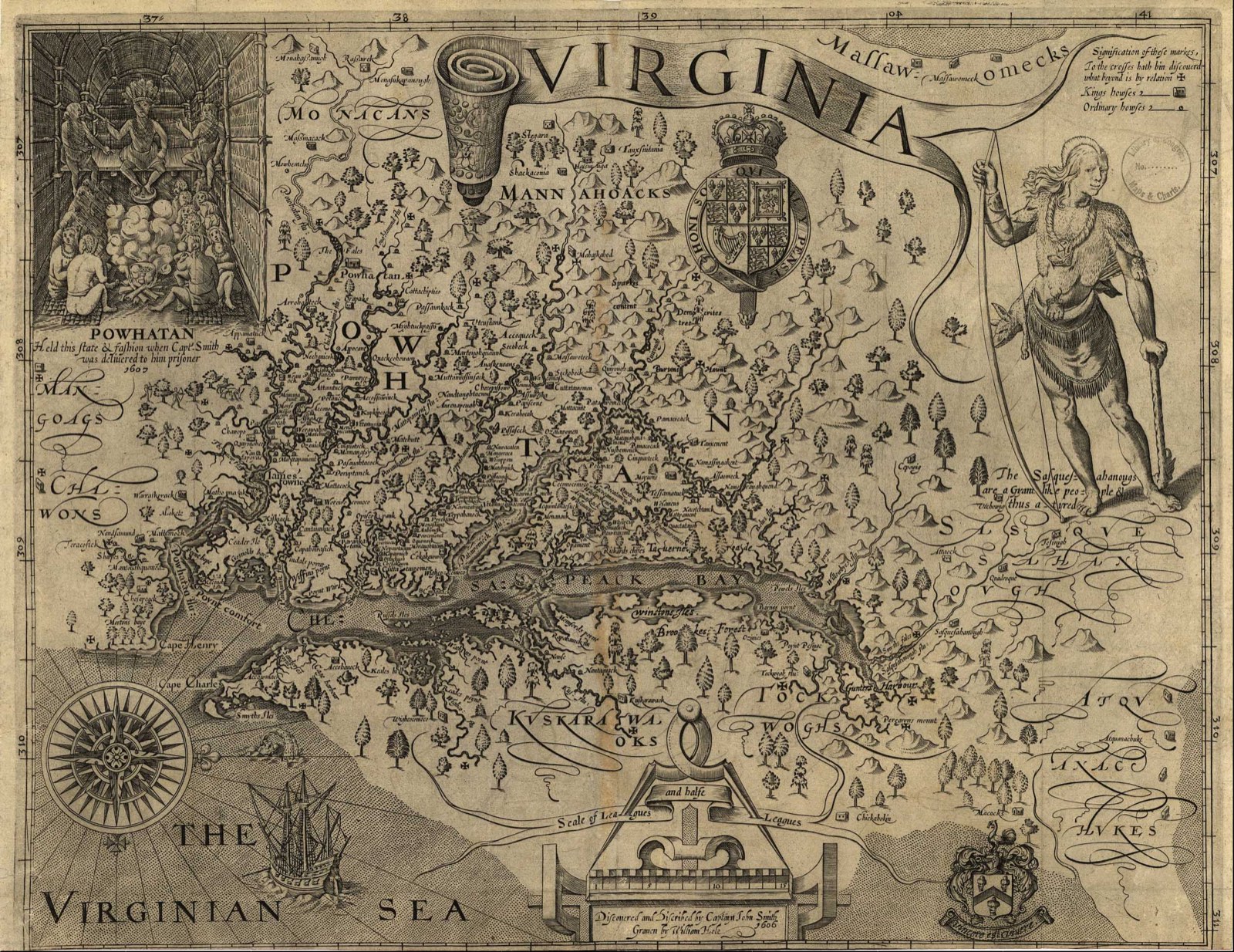
References
Each page lists its sources with the date they were checked: U.S. Census Bureau, Library of Virginia, Library of Congress, National Park Service and other official archives.