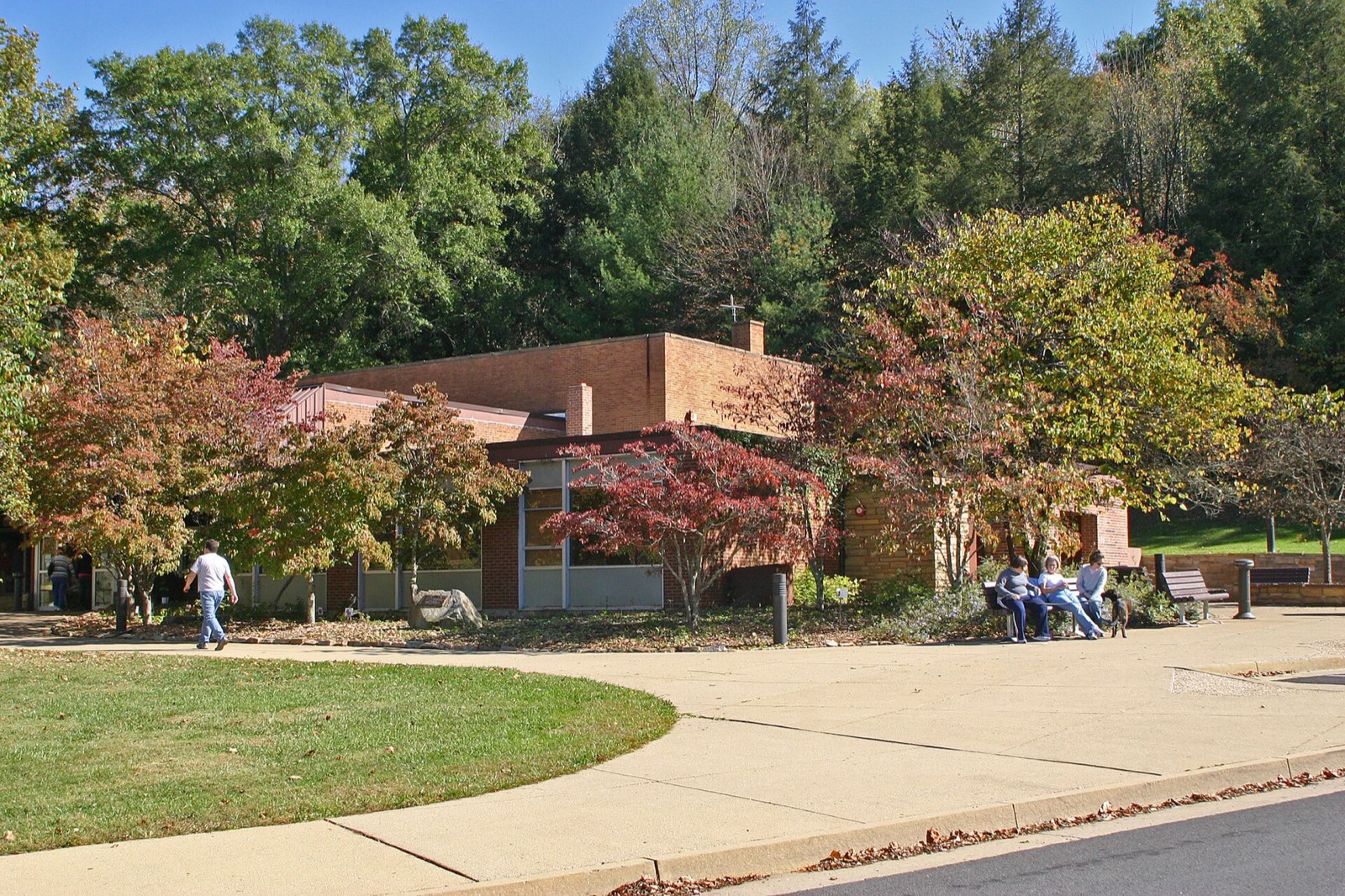
Cumberland Gap is a natural pass through Cumberland Mountain at the far western tip of Virginia. For generations it served as a route from Virginia into Kentucky.
Quick answer: Cumberland Gap is a mountain pass where Virginia, Kentucky and Tennessee meet. In 1775 Daniel Boone marked a trail through it that became the Wilderness Road, used by roughly 200,000 to 300,000 settlers. Since 1940 the area has been protected as Cumberland Gap National Historical Park.
Contents
- How the Gap Formed
- From Bison Trail to Wilderness Road
- Cumberland Gap National Historical Park
- Places Within the Park
- Frequently asked questions
How the Gap Formed
The gap is a notch in the ridge, not a river valley. According to the National Park Service, Yellow Creek once flowed across the area as the mountain rose. The mountain eventually rose faster than the creek could cut through it, so the creek changed course and left the notch dry.[1]
From Bison Trail to Wilderness Road
Bison were the first to use the pass, traveling north toward salt deposits. Early peoples followed the trail the animals had made.[1]
In 1750 the Loyal Land Company of Virginia sent Thomas Walker to find a route to the west. Walker named the mountain for the Duke of Cumberland, although he did not consider the gap the best path westward.[1]
In 1775 the land speculator Richard Henderson paid Daniel Boone to blaze a trail through the gap for settlement. The route became known as the Wilderness Road. The Park Service estimates that between 200,000 and 300,000 European-American colonists traveled west through Cumberland Gap on it.[1]
Cumberland Gap National Historical Park
Congress authorized the national historical park on June 11, 1940. It covers about 24,547 acres (9,933 hectares).[2] Its land lies in Bell and Harlan counties in Kentucky, Claiborne County in Tennessee, and Lee County in Virginia.[2]
Its headquarters is at 91 Bartlett Park Road in Middlesboro, Kentucky.[3] Trail conditions, road closures and alerts are posted on the park website.
Places Within the Park
| Place | What it offers |
|---|---|
| Pinnacle Overlook | Views over Kentucky, Tennessee and Virginia |
| Fort Lyon, near the overlook | Civil War fortifications and a cannon |
| Gap Cave | Guided tours, seasonal from April to September |
| Hensley Settlement | Walking tours with shuttle, seasonal from May to October |
Gap Cave tours can be reserved up to one month ahead by calling the park at (606) 248-2817.[4]
Frequently asked questions
Where is the gap located? It lies where Virginia, Kentucky and Tennessee meet, on Cumberland Mountain. The Virginia part of the park is in Lee County.
Who discovered Cumberland Gap? Bison and Native peoples used the pass first. Thomas Walker reached it in 1750 for the Loyal Land Company, and Daniel Boone marked the Wilderness Road through it in 1775.
How many settlers went through the Cumberland Gap? The National Park Service estimates between 200,000 and 300,000 on the Wilderness Road.
When did Cumberland Gap become a national park? Congress authorized the national historical park on June 11, 1940.
References
- [1] National Park Service, Cumberland Gap (history) – last checked 11/08/2026
- [2] National Park Service, NPS Geodiversity Atlas: Cumberland Gap National Historical Park – last checked 11/08/2026
- [3] National Park Service, Cumberland Gap: Basic Information – last checked 11/08/2026
- [4] National Park Service, Cumberland Gap: Frequently Asked Questions – last checked 11/08/2026
Lee County and the other far southwestern counties appear on the map of Virginia counties.