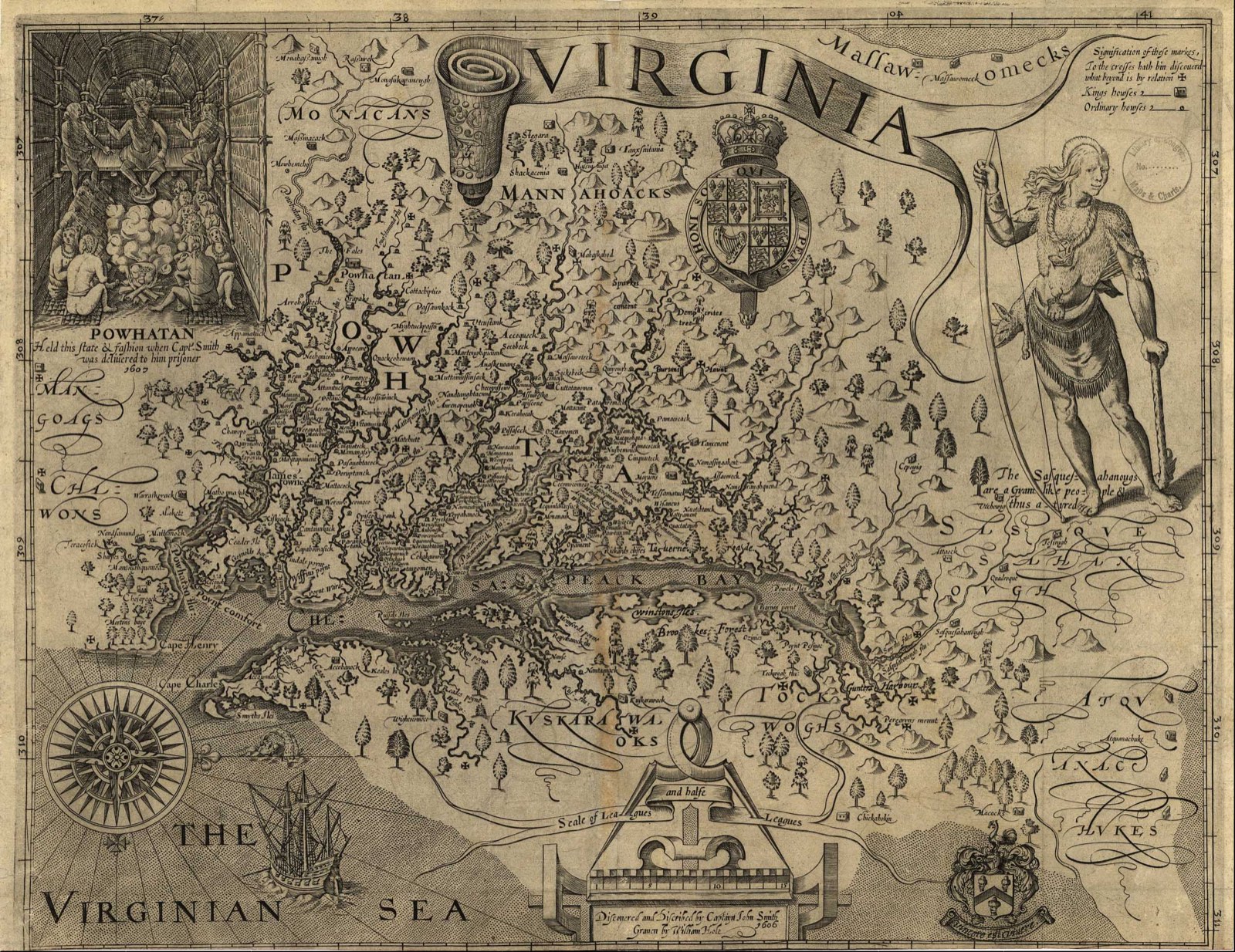
The modern shape of Virginia dates from the Civil War, when its western counties became West Virginia. The Pennsylvania West Virginia border, once part of Virginia’s own boundary, goes back to agreements of the 1700s.
Quick answer: The Pennsylvania West Virginia border began as the boundary between Pennsylvania and Virginia. It follows the Mason-Dixon line, extended west under a 1779 agreement, and a north-south meridian to the Ohio River surveyed in 1784-1785. When West Virginia became a state on June 20, 1863, it took over Virginia’s side of that border.
Contents
- The Mason-Dixon Line
- The 1779 Baltimore Agreement
- The Creation of West Virginia
- Berkeley and Jefferson Counties
- The Line Between Virginia and West Virginia
- Frequently asked questions
The Mason-Dixon Line
Charles Mason and Jeremiah Dixon surveyed the southern boundary of Pennsylvania in the 1760s; they were discharged on December 26, 1767. The survey stopped about 36 miles short of its full length at the request of Native nations.[1]
The 1779 Baltimore Agreement
In 1779 commissioners from Pennsylvania and Virginia, meeting in Baltimore, agreed to extend the Mason-Dixon line due west for five degrees of longitude. A meridian running north from its western end would form the western boundary of Pennsylvania.[1]
The westward line was completed in 1784 and marked with posts lettered “P” and “V.” The final report of 1785 described the meridian run north from the southwest corner of Pennsylvania to the Ohio River.[1] A joint survey reported in 1883 marked the line again with permanent monuments, and West Virginia accepted it by an act of May 3, 1887.[1]
The Creation of West Virginia
After Virginia voted to secede in May 1861, Unionists formed the Restored Government of Virginia on June 17, 1861. In August 1861 it approved the creation of a new state.[2]
| Date | Step |
|---|---|
| July 1862 | Senate approves admission, with gradual emancipation required |
| December 31, 1862 | President Lincoln signs the admission bill |
| March 26, 1863 | Voters ratify the revised constitution |
| June 20, 1863 | West Virginia becomes a state |
Source for the table: National Archives.[2] On that date West Virginia took over Virginia’s responsibilities for the Pennsylvania line.[1]
Berkeley and Jefferson Counties
Berkeley and Jefferson counties voted to join West Virginia on February 4, 1863, but Virginia later disputed the transfer. Congress recognized it on March 10, 1866, and the U.S. Supreme Court confirmed it in Virginia v. West Virginia (1871).[2]
The Line Between Virginia and West Virginia
The boundary between the two states is the combination of the borders of the counties along the state line, as set by the Virginia acts that created those counties. The one exception is Mingo County, created by West Virginia in 1895.[1]
Frequently asked questions
When did West Virginia split from Virginia? West Virginia became a state on June 20, 1863.
What line forms the Pennsylvania West Virginia border? The Mason-Dixon line extended west after 1779, and a meridian running north to the Ohio River.
Who surveyed the Mason-Dixon line? Charles Mason and Jeremiah Dixon, in the 1760s.
Why are Berkeley and Jefferson counties in West Virginia? They voted to join in 1863; Congress confirmed it in 1866 and the Supreme Court in 1871.
References
- [1] West Virginia Archives and History, Boundaries of West Virginia – last checked 11/08/2026
- [2] National Archives, West Virginia Statehood, June 20, 1863 – last checked 11/08/2026
The western mountain border is visible on the map of Virginia counties.