The geography of Virginia uses a set of terms that appear again and again on maps, in textbooks and on this site. This glossary defines them in plain words.
Quick answer: Key terms in the geography of Virginia include the five physiographic provinces (Coastal Plain, Piedmont, Blue Ridge, Valley and Ridge, Appalachian Plateau), the fall line between the Piedmont and the Coastal Plain, and the independent city, a city that is not part of any county.
Contents
Landforms and Regions
| Term | Meaning |
|---|---|
| Physiographic province | A region with similar landforms and rocks; Virginia has five[1] |
| Coastal Plain (Tidewater) | The easternmost region, between the fall line and the Chesapeake Bay[2] |
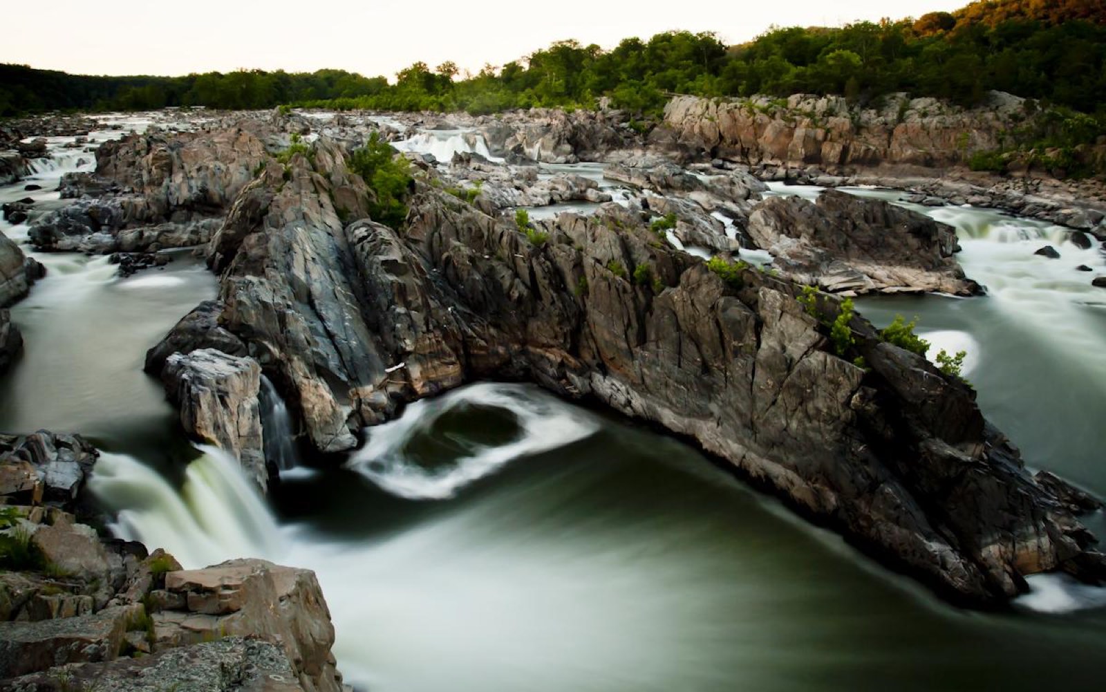
| Fall line (Fall Zone) | The boundary where the hard rocks of the Piedmont meet the soft sediments of the Coastal Plain[3] |
| Piedmont | The rolling region between the Fall Zone and the Blue Ridge; the largest province[4] |
| Blue Ridge | The highland with the oldest rocks and the highest point, Mount Rogers[5] |
| Valley and Ridge | Long parallel ridges and valleys of folded rock west of the Blue Ridge[6] |
| Great Valley | The eastern part of the Valley and Ridge, including the Shenandoah Valley[6] |
| Appalachian Plateau | The far southwestern region of flat-lying rock and coal[7] |
| Eastern Shore | Virginia’s land east of the Chesapeake Bay; low barrier islands line its Atlantic edge[8] |
Rocks and Soils
| Term | Meaning |
|---|---|
| Saprolite | Rock weathered in place into a soft layer, 2 to 20 meters thick in the Piedmont[4] |
| Karst | Landscape of sinkholes, springs and caves formed where limestone dissolves[6] |
| Greenstone | Ancient basalt lava of the Catoctin Formation in the Blue Ridge[5] |
| Mesozoic basin | A rift basin of younger rock inside the Piedmont[4] |
Government and Boundaries
| Term | Meaning |
|---|---|
| County | One of 95 counties[9] |
| Independent city | One of 38 cities not part of any county[10] |
| County equivalent | A Census term for an independent city[11] |
| Town | A municipality that remains part of its county[10] |
Frequently asked questions
What is the fall line in Virginia geography? The boundary between the Piedmont and the Coastal Plain, where rivers drop from hard rock onto softer sediments.
What is an independent city? A city that is not part of any county; Virginia has 38.
What is karst? A landscape of sinkholes, springs and caves where limestone dissolves, common in the Great Valley.
References
- [1] Virginia Energy, Virginia Provinces and Fossils – last checked 11/08/2026
- [2] U.S. Geological Survey, Virginia/West Virginia Water Science Center Glossary – last checked 11/08/2026
- [3] U.S. Geological Survey, Geology along the Fall Zone – last checked 11/08/2026
- [4] The Geology of Virginia (William and Mary), Piedmont – last checked 11/08/2026
- [5] The Geology of Virginia (William and Mary), Blue Ridge – last checked 11/08/2026
- [6] The Geology of Virginia (William and Mary), Valley and Ridge – last checked 11/08/2026
- [7] The Geology of Virginia (William and Mary), Appalachian Plateau – last checked 11/08/2026
- [8] The Geology of Virginia (William and Mary), Coastal Plain – last checked 11/08/2026
- [9] U.S. Census Bureau, County Population Totals: 2020-2025 – last checked 11/08/2026
- [10] Virginia Association of Counties, Virginia Counties – last checked 11/08/2026
- [11] U.S. Census Bureau, Geographic Boundary Change Notes – last checked 11/08/2026
Each region is described in The Regions of Virginia.