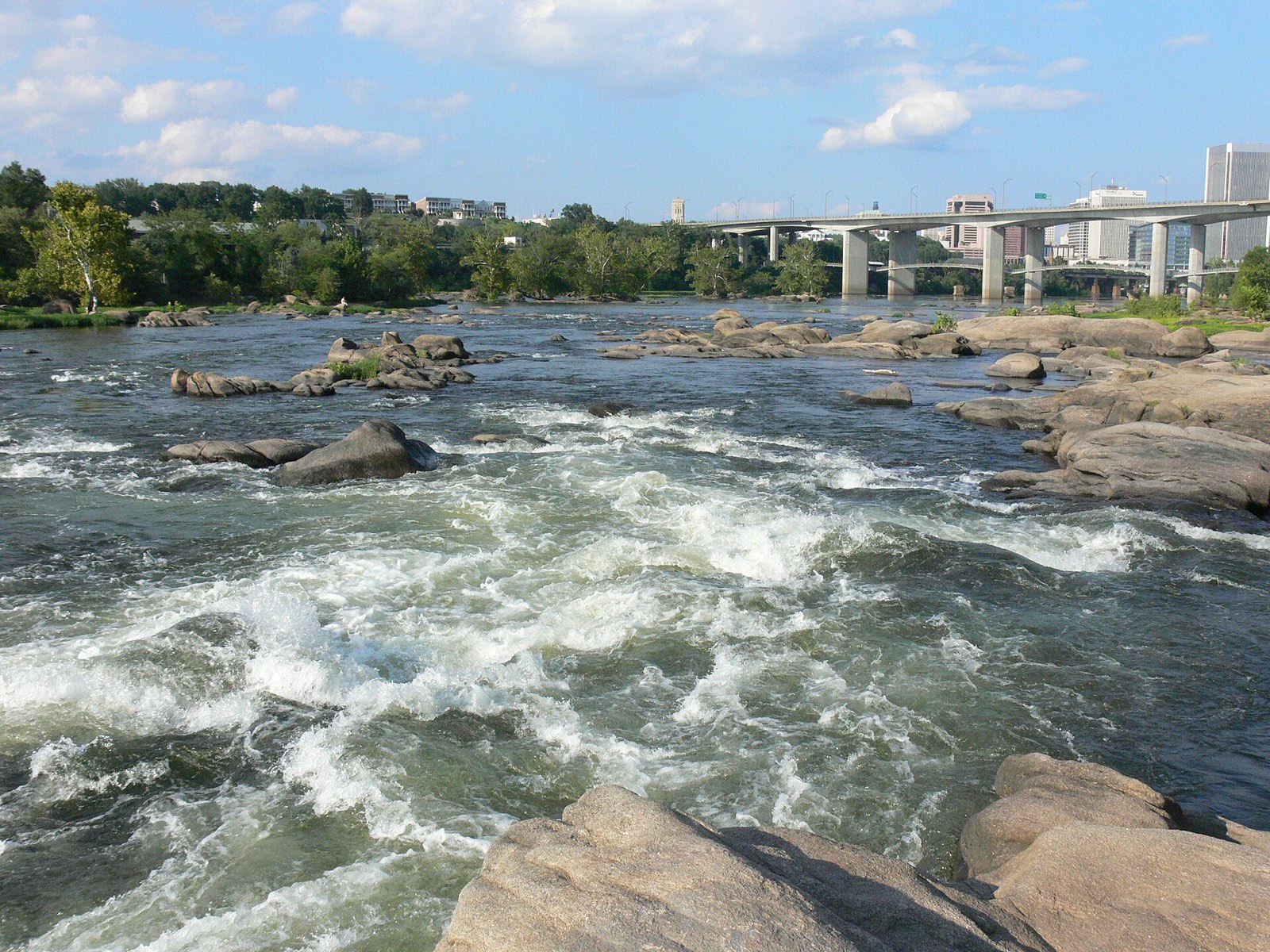
The Virginia fall line is a boundary in the geography of the Commonwealth. It separates two physiographic provinces, and rivers drop over cascades where they cross it.
Quick answer: The Virginia fall line is the boundary between the Piedmont and the Coastal Plain. West of it lie hard igneous and metamorphic rocks; east of it lie softer sediments. Where rivers cross the line, they drop over small falls and rapids.
Contents
Definition
The U.S. Geological Survey calls the boundary the Tidewater Fall Line. It separates the more resistant igneous, metamorphic and consolidated sedimentary rocks of the Piedmont from the loose deposits of the Virginia Coastal Plain.[1] Geologists also speak of a Fall Zone, a narrow belt rather than a single line.[2]
The USGS defines the Virginia Coastal Plain, also known as the Tidewater region, as the area between the fall line and the Chesapeake Bay.[3]
Hard Rock and Soft Sediment
In the Fall Zone, streams drop off the harder rocks of the Piedmont onto the younger strata of the Coastal Plain.[2] The sediment wedge of the Coastal Plain thins to a featheredge near the Fall Zone and thickens toward the ocean.[2]
| West of the fall line | East of the fall line |
|---|---|
| Piedmont province | Coastal Plain (Tidewater) |
| Igneous and metamorphic rock | Clay, sand, gravel and silt |
| Rolling hills | Flat, terraced land |
Seeing the Fall Line
The National Park Service points to Prince William Forest Park, near Quantico, as a place to see the fall line. Along the Quantico Cascades Trail, the two branches of Quantico Creek form small cascades where they cross from the hard rock of the Chopawamsic Formation onto the softer Coastal Plain sediments.[4]
Frequently asked questions
What is the fall line in Virginia? It is the boundary between the Piedmont and the Coastal Plain, where rivers drop from hard rock onto softer sediments.
Why is it called the fall line? Streams form falls and rapids where they cross from the Piedmont rocks onto the Coastal Plain.
Where can you see the fall line in Virginia? At Prince William Forest Park, along the Quantico Cascades Trail.
What is the Fall Zone? Geologists use the term for the narrow belt where the Piedmont meets the Coastal Plain.
References
- [1] U.S. Geological Survey, Geology of the eastern Piedmont and upper Coastal Plain along the Fall Zone – last checked 11/08/2026
- [2] The Geology of Virginia (William and Mary), Coastal Plain – last checked 11/08/2026
- [3] U.S. Geological Survey, Virginia/West Virginia Water Science Center Glossary – last checked 11/08/2026
- [4] National Park Service, Fall Line (Prince William Forest Park) – last checked 11/08/2026
The regions on each side are described in Tidewater (Coastal Plain) and Piedmont.